What Complete Streets Design Really Means
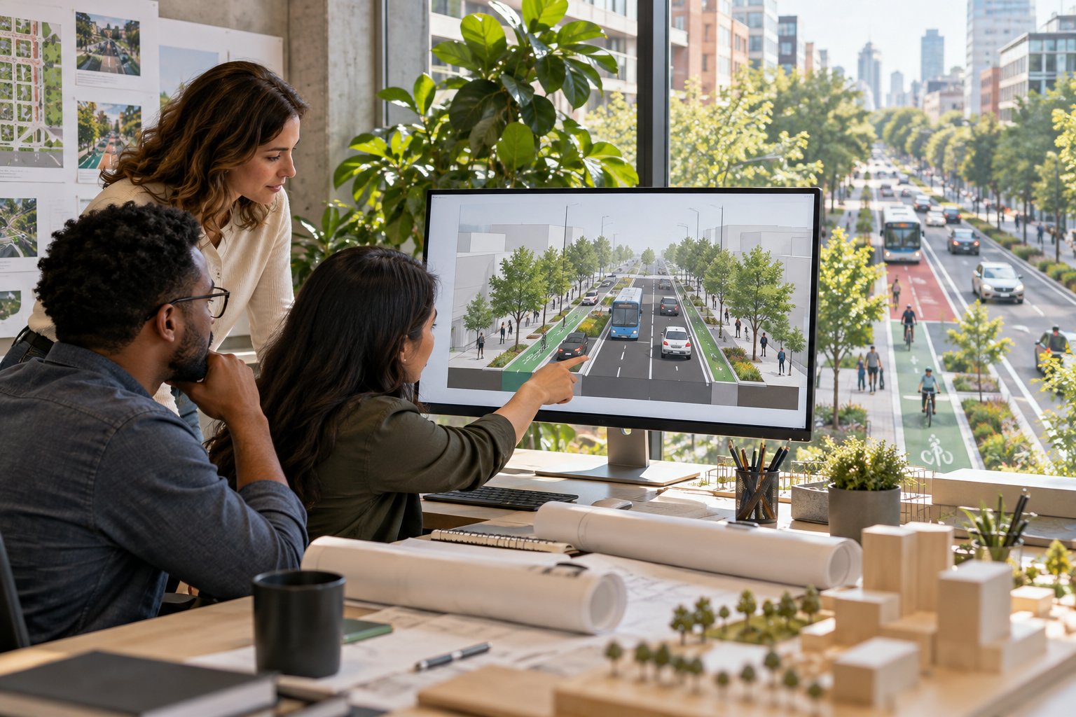
Complete streets design is an approach that plans every street for all of its users, not only for cars. In practice, people walking, cycling, riding transit, driving, and delivering goods all get a safe and comfortable share of the space. As a result, the street becomes a place to spend time as well as a route to travel.
At first, the idea sounds simple. However, turning it into a buildable layout is where most projects slow down. Every meter of the right of way has several possible uses, and each choice affects safety, cost, trees, parking, and drainage. This guide explains the core principles, the typical dimensions, and a practical workflow that helps teams move from concept to an approved street section faster.
Why Complete Streets Design Matters for Modern Cities
For decades, many urban streets were designed mainly to move vehicles. As a result, wide lanes, narrow sidewalks, and missing crossings were common. Today, cities want streets that support health, climate goals, local business, and road safety at the same time. Therefore, the street section has become one of the most important planning decisions a municipality makes.
Modern streets also face new pressures. For example, scooters, delivery vans, shared bikes, and bus priority all compete for the same curb. In addition, residents expect shade, seating, and green infrastructure. A complete street balances these demands instead of letting one mode take everything.
Benefits for Communities
- Safer travel: narrower lanes, shorter crossings, and protected bike lanes reduce conflict points.
- More travel choices: people can walk, cycle, or ride transit with confidence.
- Stronger local economy: comfortable sidewalks bring more foot traffic to shops and cafes.
- Climate resilience: street trees and planted strips cool the street and manage stormwater.
Core Principles of Complete Streets Design
There is no single template that fits every corridor. Instead, good complete streets design follows a set of shared principles that guide decisions on each project.
1. Start with Context
A downtown main street, a quiet residential lane, and a suburban arterial need very different solutions. So, begin with land use, speeds, traffic volumes, transit routes, and the people who actually use the street. Context should shape the section, not the other way around.
2. Prioritize the Most Vulnerable Users
Pedestrians come first, followed by cyclists and transit riders. This order does not mean drivers are ignored. Rather, it means the layout protects the people who face the greatest risk in a crash.
3. Design for the Target Speed
Lane width, curb radii, and street trees all send signals to drivers. When a street feels narrow and active, people tend to drive slower. Consequently, the geometry itself becomes a safety tool.
4. Treat the Street as Public Space
Streets are often the largest public space a city owns. For that reason, seating, shade, lighting, and room for gathering belong in the section from the very first sketch.
Street Design Guidelines: Typical Dimensions
Of course, every city publishes its own street design guidelines, and local standards always take priority. Even so, a few ranges appear again and again in widely used references such as the NACTO Urban Street Design Guide. The figures below are starting points for early sketches, not final engineering values.
Sidewalk Width Standards
A sidewalk works best when it is split into zones. First, the frontage zone sits next to buildings. Next, the clear walking zone stays free of obstacles. Finally, the furniture zone holds trees, lighting, benches, and bike racks. Many guidelines ask for a clear walking zone of about 1.8 to 2.4 meters (6 to 8 feet) on busy streets, and even more in downtown cores. Accessibility rules then set an absolute minimum that must never be blocked.
Travel Lanes
On urban streets, lanes of around 3.0 to 3.3 meters (10 to 11 feet) are common. In contrast, wider lanes tend to encourage higher speeds. Bus and truck routes may need slightly more room, so check the design vehicle before you narrow anything.
Bike Lanes and Cycle Tracks
A one way bike lane is often about 1.5 to 2.0 meters wide, plus a buffer when it sits next to parking or fast traffic. On busier corridors, physically protected cycle tracks are the preferred choice. In addition, two way tracks need more width and careful treatment at intersections.
Medians, Parking, and Planting
Parking lanes usually take 2.0 to 2.5 meters. Medians and pedestrian refuges help people cross wide streets in two stages. Meanwhile, planting strips need enough soil volume for trees to grow to full size.
Urban Street Planning: A Step by Step Workflow
Good urban street planning is iterative. Teams rarely land on the right section on the first try. The workflow below keeps the process structured and easy to communicate.
- Measure the right of way. Confirm the full width between property lines and any fixed constraints, such as utilities or mature trees.
- List every user and need. Include transit, deliveries, emergency access, and loading.
- Sketch several alternatives. Compare a transit first option, a cycling first option, and a balanced option.
- Check dimensions against local standards. Adjust widths until each element meets its minimum.
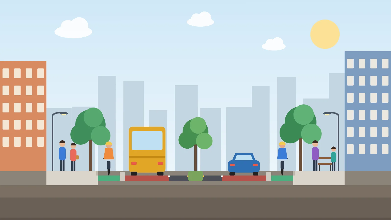
- Visualize and share. Produce clear cross-sections for residents, councils, and engineering partners.
- Refine and document. Lock the preferred section and carry it into detailed design.
Steps three to five usually repeat many times. Each round of feedback means redrawing the section, updating dimensions, and exporting new visuals. With manual CAD or image editing, that loop can take hours per street. A dedicated cross-section generator cuts that time sharply, because the section updates the moment a width changes.
Complete Streets Design Examples
Looking at urban design examples helps teams explain options to decision makers. The following patterns are common in projects around the world.
Main Street Retrofit
A four lane commercial street is reduced to two travel lanes plus a center turn lane. The space gained goes to wider sidewalks, bike lanes, and outdoor seating. This kind of road diet is one of the best known complete street moves.
Transit Corridor
On a busy bus route, dedicated bus lanes run in the center or along the curb. Boarding islands, protected cycle tracks, and generous crossings support riders as they walk to and from stops.
Residential Shared Street
On low traffic residential streets, curbs can be removed so that walking, play, and slow driving share one surface. Trees, planters, and paving changes keep speeds very low.
Green Boulevard
Wide arterials can include a planted median, rain gardens, and a separate local service lane. As a result, the corridor carries traffic while still offering shade and a pleasant walking environment.
Common Mistakes to Avoid
- Copying a section from another city without checking the local context.
- Squeezing every mode in at its absolute minimum, so nothing works well.
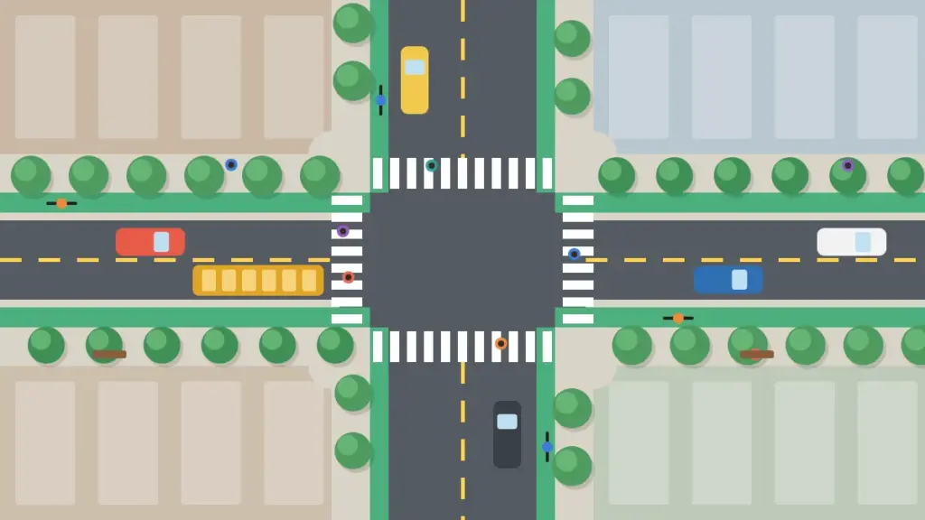
- Ignoring intersections, where most conflicts actually happen.
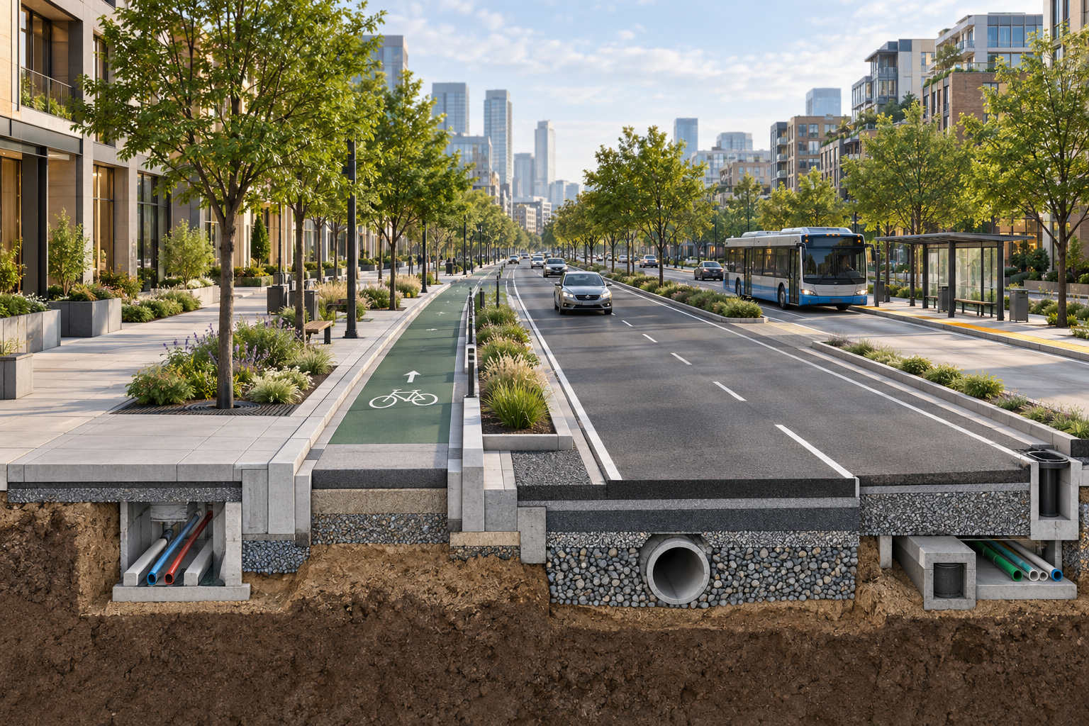
- Forgetting maintenance, drainage, and underground utilities.
- Presenting only one option, which makes public discussion harder.
How KCROSS Supports Complete Streets Design
KCROSS is street design software built for exactly this kind of work. Planners and engineers define the street geometry, generate an accurate section, and then test alternatives in minutes rather than hours. Because the tool works without CAD or Photoshop, more team members can take part in early design.
In addition, every section can be exported in formats that fit reports, presentations, and engineering files. This makes it easier to share options with councils and residents, and it keeps everyone working from the same numbers. To learn more, read our guides on road cross section software and public space design, or contact the KCROSS team for a demo.
Frequently Asked Questions
What is complete streets design?
Complete streets design is a planning approach that gives safe and comfortable space to everyone who uses a street. That includes people walking, cycling, riding transit, and driving.
Is there a standard sidewalk width?
There is no universal number. Local codes set the minimums, and guides such as NACTO recommend a wider clear walking zone on busy streets. Always confirm the current local standard.
Do complete streets reduce traffic capacity?
Not necessarily. Many road diets keep similar vehicle throughput while improving safety, because turning traffic is separated and speeds become more consistent.
How can software help with complete streets design?
Cross-section software lets teams build, compare, and update street layouts quickly. As a result, they spend less time redrawing and more time improving the street.
Final Thoughts
Complete streets design turns ordinary roads into safe, useful, and welcoming places. The process depends on clear priorities, realistic dimensions, and many rounds of review. With the right tools, those rounds become faster and easier, so better streets reach construction sooner.