A Smarter Way to Plan Streets and Corridors
Transportation design software helps engineers, urban planners, architects and public agencies create clearer, more efficient and more accurate transportation infrastructure plans. Instead of relying entirely on manual drawings, disconnected design tools and time-consuming revisions, professional software makes it easier to develop, update, compare and present transportation design alternatives.
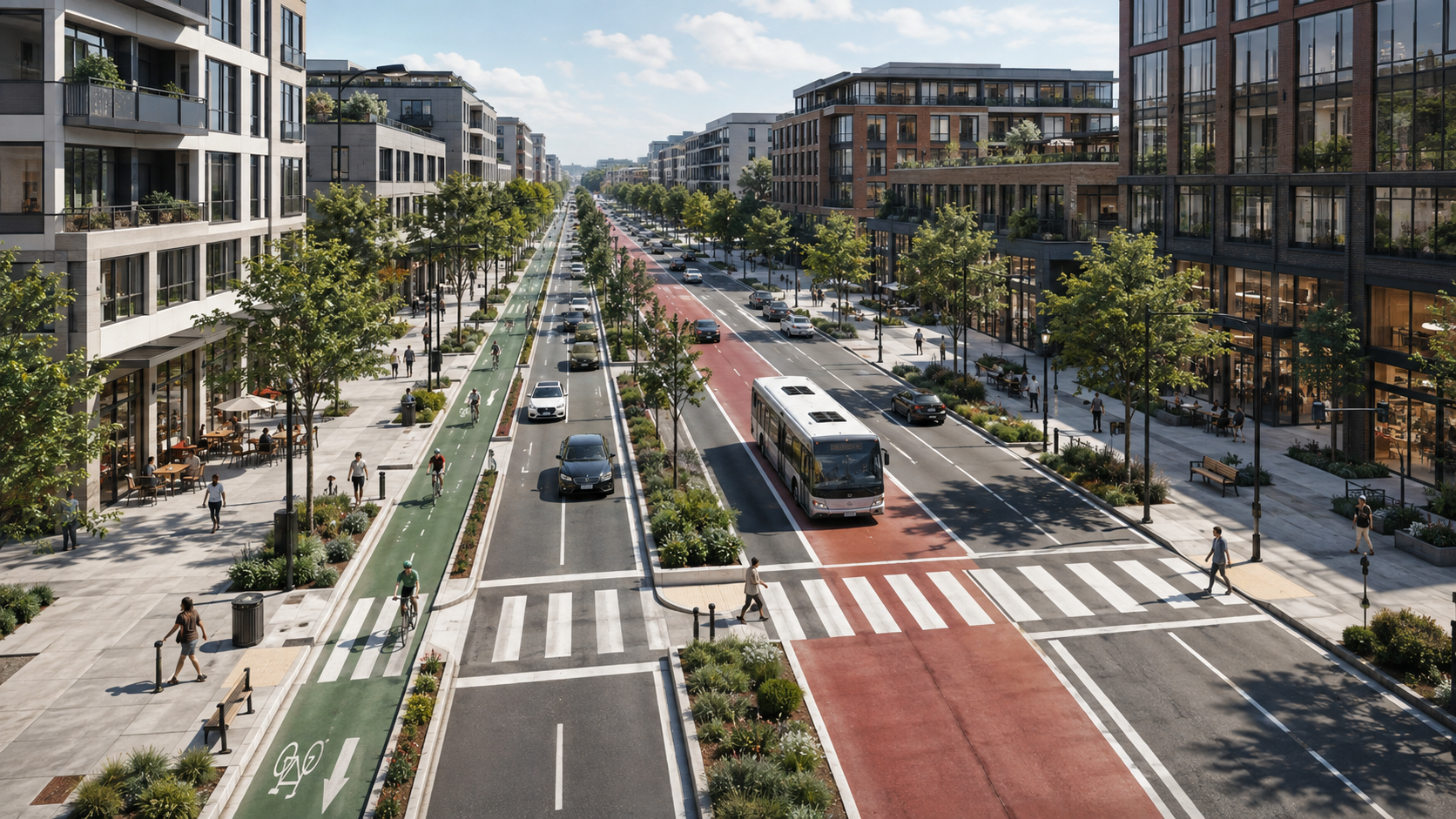
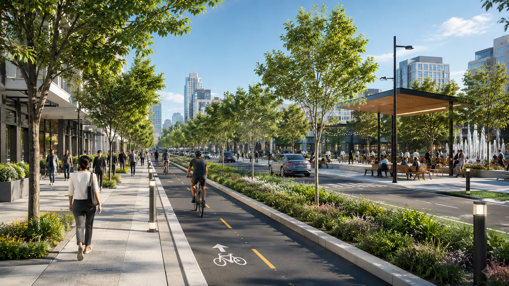
Modern transportation projects require more than basic road drawings. Design teams must consider vehicle lanes, sidewalks, bicycle infrastructure, public transportation, parking, landscaping, accessibility and the overall allocation of available street space. The right transportation design software brings these elements into a structured workflow that supports both technical planning and visual communication.
What Is Transportation Design Software?
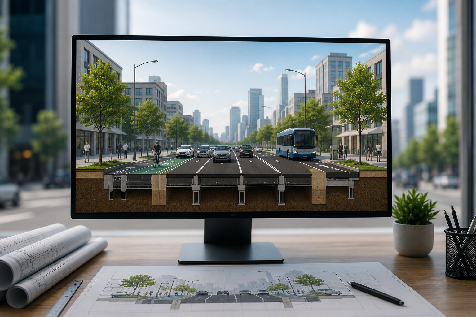
Transportation design software is a digital tool used to plan, visualize, evaluate and communicate streets, roads, corridors and mobility infrastructure.
Depending on the platform, transportation design software may support street cross-sections, road geometry, design alternatives, public realm elements, lane configurations, export files and presentation-ready visuals.
Some platforms are designed for advanced civil engineering calculations, while others focus on conceptual planning or public engagement. Specialized solutions such as KCROSS focus on the professional creation of street and corridor cross-sections through a parameter-based workflow.
Why Transportation Design Software Is Important
Transportation projects are often complex because many different users must share the same space. A single corridor may need to accommodate private vehicles, buses, cyclists, pedestrians, trees, loading areas, parking spaces and accessibility requirements.
Without an efficient design system, even a small change can require significant manual work. For example, changing the width of a bicycle lane may affect the sidewalk, traffic lanes, parking arrangement and total right-of-way.
Transportation design software helps teams manage these changes more efficiently while maintaining a consistent and understandable design.
Faster Design Development
One of the main advantages of transportation design software is speed. Parameter-based tools allow users to modify dimensions and regenerate sections without redrawing the entire design from scratch.
This can significantly reduce the time required to develop a new street section or update an existing alternative.
Better Design Accuracy
A structured digital workflow reduces inconsistencies that may occur when designs are created manually across several different programs.
Users can work with defined measurements, repeatable components and organized parameters, helping the design remain clear and consistent throughout the planning process.
Clearer Stakeholder Communication
Transportation plans must often be presented to clients, municipal departments, decision-makers and members of the public.
Technical CAD drawings may be difficult for non-engineers to understand. Transportation design software can produce visual street sections that clearly show how space is distributed between vehicles, pedestrians, cyclists, transit services and landscaping.
Who Uses Transportation Design Software?
Transportation design software is suitable for a wide range of professionals and organizations involved in mobility, infrastructure and public-space planning.
Transportation Engineers
Transportation engineers use design software to develop street sections, compare lane configurations and produce professional outputs for reports, planning documents and engineering workflows.
A specialized cross-section platform can also help engineers evaluate changes more quickly during project revisions.
Urban Planners
Urban planners often need to examine how transportation decisions affect the wider urban environment.
Transportation design software allows planners to explore questions such as:
- Can the sidewalk be widened?
- Is there enough space for a protected bicycle lane?
- Can parking be retained while adding a bus lane?
- How will a new design affect the total street width?
- Which alternative provides a better balance between mobility and public space?
Municipalities and Government Agencies
Municipal agencies and transportation departments can use transportation design software to standardize planning processes across multiple teams.
Clear street sections are especially useful during internal reviews, consultant coordination, public presentations and decision-making meetings.
Landscape Architects and Urban Designers
Landscape architects and urban designers use transportation design tools to connect mobility infrastructure with streetscape design.
Elements such as trees, planting zones, sidewalks, street furniture and public-space areas can be shown as part of the overall corridor design rather than as separate features.
Transportation Consulting Firms
Consulting firms frequently need to prepare design alternatives within limited deadlines.
Efficient transportation design software helps these teams produce professional visuals for proposals, client presentations, feasibility studies and planning reports without depending on a lengthy multi-software process.
Key Features to Look for in Transportation Design Software
Not every transportation design platform serves the same purpose. The best choice depends on the type of project, technical requirements and intended audience.
Parameter-Based Design
A parameter-based system allows users to define and adjust dimensions such as lane widths, sidewalk widths, medians and cycling facilities.
When a parameter changes, the design can be updated without manually rebuilding each component. This is particularly useful when a project includes several alternatives or frequent client revisions.
Street Cross-Section Generation
Street cross-sections are essential for showing how the available corridor width is divided.
Professional transportation design software should make it easy to create sections that include elements such as:
- Vehicle lanes
- Bus lanes
- Bicycle lanes
- Parking lanes
- Sidewalks
- Medians
- Landscaping
- Street furniture
- Public realm areas
Alternative Comparison
Transportation planning rarely involves only one possible design.
The ability to create and compare alternatives side by side helps teams evaluate tradeoffs, identify spatial conflicts and communicate the advantages of each option.
Professional Export Formats
Export options are important because transportation designs are used in many different environments.
Useful export formats may include PNG for presentations, PDF for reports and DWF for CAD-related workflows. These formats allow the same street section to support planning meetings, formal documentation and technical coordination.
Presentation-Quality Visuals
A technically correct design is not always easy to communicate.
Transportation design software should produce clean, professional visuals that can be understood by both technical and non-technical audiences.
Accessible Workflow
Some users need professional transportation visuals but do not have advanced CAD experience.
An intuitive interface and parameter-based process can make street-section creation accessible to planners, architects, municipal staff and consultants who do not work regularly with complex CAD systems.
Transportation Design Software vs. Traditional Design Methods
Traditional street cross-section workflows often involve several separate tools. A designer may create basic geometry in AutoCAD, move the design into graphic software for presentation and then repeat much of the process whenever the project changes.
This approach can work, but it often creates unnecessary complexity.
Traditional Multi-Software Workflow
A traditional workflow may include:
- Creating the initial section in CAD software.
- Exporting the drawing into another platform.
- Adding visual elements, textures and labels.
- Preparing the section for a presentation.
- Returning to the CAD file when dimensions change.
- Repeating the export and graphic-editing process.
This workflow can become particularly inefficient when several alternatives must be created.
Parameter-Based Transportation Design Workflow
A specialized transportation design platform combines section creation, visual presentation and design updates within one structured process.
The user changes the relevant parameters, regenerates the section and exports the updated result. This reduces repeated drafting and makes it easier to maintain consistency between alternatives.
How Transportation Design Software Supports Complete Streets
Complete streets are designed to serve different users rather than focusing only on private vehicles.
Transportation design software helps planners visualize how a corridor can support:
- Walking
- Cycling
- Public transportation
- Private vehicles
- Deliveries
- Parking
- Accessibility
- Landscaping
- Public-space activity
By displaying these elements within a single cross-section, the software helps decision-makers understand how each design choice affects the entire street.
Evaluating Street-Space Tradeoffs
Available right-of-way is limited in many urban areas. Adding one feature usually affects another.
For example, adding a protected bicycle lane may require reducing parking, narrowing a traffic lane or changing the sidewalk configuration.
Transportation design software makes these tradeoffs visible and easier to discuss.
Improving Public Engagement
Residents and community representatives may find technical engineering drawings difficult to interpret.
A clearly designed street cross-section can show exactly where sidewalks, trees, bicycle lanes, parking areas and traffic lanes will be located. This improves transparency and supports more productive public discussions.
Transportation Design Software for Smart Mobility Projects
Smart mobility is not limited to digital technology or connected vehicles. It also depends on how physical street space is planned.
Transportation design software helps transform mobility strategies into practical corridor configurations.
A smart mobility project may include bus priority, safer cycling infrastructure, wider pedestrian areas, shared mobility zones or reduced dependence on private vehicles. Cross-section software allows teams to test how these goals fit within the available street width.
From Strategy to Physical Design
Mobility policies often begin as broad objectives, such as improving walkability or encouraging public transportation.
Transportation design software helps convert these goals into measurable design decisions. Teams can define lane widths, position different mobility elements and evaluate whether the proposed arrangement is realistic.
How KCROSS Supports Transportation Design
KCROSS is specialized street cross-section software designed for engineers, planners, architects, landscape architects, municipal agencies and transportation consulting teams.
The platform uses a parameter-based workflow that helps users create, update and compare professional street cross-sections without relying on a traditional AutoCAD and Photoshop process.
Fast Street Cross-Section Creation
KCROSS is designed to shorten the time required to produce street sections.
According to the product’s indexed information, users can create new sections in approximately two minutes and regenerate updated sections in approximately 1.3 minutes, depending on the project and configuration.
Design Alternatives Side by Side
Users can modify design parameters, regenerate sections and compare alternatives. This is useful for corridor studies, stakeholder meetings and planning processes where several configurations must be evaluated.
Export-Ready Outputs
KCROSS supports exports to PNG, PDF and DWF.
PNG files can be used in presentations and websites, PDF files are suitable for reports and formal documents, and DWF files can support CAD-related design environments.
No Advanced CAD Experience Required
KCROSS is designed to provide a more accessible street-section workflow. Users work with parameters rather than manually drafting every component.
This makes the software useful for both technical professionals and planning teams that need professional results without advanced CAD expertise.
How to Choose the Right Transportation Design Software
Choosing the right platform requires a clear understanding of the project workflow.
Define the Main Purpose
Start by identifying what the software must accomplish.
A team developing detailed road engineering models may need different software from a planning team that primarily creates and compares street cross-sections.
For street and corridor planning, the most important capabilities may include quick section creation, parameter editing, alternative comparison and professional exports.
Consider the Intended Audience
Think about who will use the final designs.
Engineering teams may require CAD-compatible outputs, while municipalities may prioritize clear visuals for presentations and public engagement.
The best platform should support both the design process and the way the project will be communicated.
Review Export Requirements
Before selecting a platform, confirm which file formats are available.
If the sections must appear in reports, presentations and CAD environments, support for formats such as PNG, PDF and DWF can be highly valuable.
Evaluate Ease of Use
Complex software may provide many functions but also require significant training.
A focused transportation design solution may be more efficient for teams that primarily need street sections, design alternatives and presentation-ready visuals.
Consider Team and Enterprise Needs
Large consultancies, municipalities and transportation agencies should also review licensing, user management, technical support, training and customization options.
A platform that works well for one user may require additional enterprise features when deployed across a department or organization.
Benefits of Using Professional Transportation Design Software
Professional transportation design software creates value throughout the project lifecycle.
Reduced Production Time
Faster section creation and updates allow teams to spend less time redrawing and more time evaluating the quality of the design.
More Consistent Outputs
Standardized components and parameter controls help maintain a consistent visual and technical structure across multiple projects and alternatives.
Improved Collaboration
Clear cross-sections provide a common visual language for engineers, planners, architects, clients and public authorities.
Faster Revisions
When project requirements change, the section can be updated without restarting the entire drafting and graphic-design process.
Stronger Presentations
Professional visuals improve planning reports, stakeholder presentations, project proposals and public consultation materials.
Common Transportation Design Software Use Cases
Urban Street Redesign
Software can be used to evaluate new configurations for existing urban streets, including wider sidewalks, cycling infrastructure, public transportation lanes and landscaping.
New Development Planning
Planning teams can use street sections to show how roads and public spaces will function within a new residential, commercial or mixed-use development.
Public Transportation Corridors
Transportation design software can help visualize dedicated bus lanes, transit stops, pedestrian areas and connections to cycling infrastructure.
Bicycle Infrastructure Projects
Designers can compare protected bicycle lanes, painted lanes, shared streets and different buffer configurations.
Municipal Planning Studies
Municipalities can create multiple alternatives for internal review, council presentations and community meetings.
Transportation Proposals and Bids
Consulting firms can prepare clear, professional street-section visuals for competitive proposals and client presentations.
Frequently Asked Questions About Transportation Design Software
What is the best transportation design software?
The best transportation design software depends on the project. Detailed civil engineering may require advanced CAD or infrastructure platforms, while street and corridor planning may benefit from specialized cross-section software such as KCROSS.
Can transportation design software replace AutoCAD?
Specialized software can replace certain AutoCAD workflows, particularly for creating and presenting street cross-sections. However, it may not replace every civil engineering, survey or construction-documentation function provided by full CAD platforms.
Can urban planners use transportation design software without CAD experience?
Yes. Parameter-based transportation design tools can allow urban planners and municipal teams to create professional sections without manually drafting each element in CAD.
What can be included in a street cross-section?
A street cross-section may include traffic lanes, bicycle lanes, sidewalks, bus lanes, parking, medians, trees, landscaping, street furniture and other public-realm elements.
Why are street cross-sections important?
Street cross-sections show how the available corridor width is distributed. They help teams evaluate design feasibility, compare alternatives and communicate transportation plans clearly.
What file formats should transportation design software support?
Common professional formats include PNG for visual presentations, PDF for reports and DWF for CAD-related workflows.
Is transportation design software suitable for municipalities?
Yes. Municipalities can use it for corridor planning, internal reviews, public presentations, alternative comparison and coordination with external consultants.
How does transportation design software improve project efficiency?
It reduces repetitive drafting, simplifies design changes, supports alternative comparison and produces consistent visual outputs from a structured workflow.
Build Better Transportation Plans with the Right Software
Transportation design software gives planning and engineering teams a faster and clearer way to develop streets, corridors and mobility infrastructure.
By combining parameter-based design, professional cross-section generation, alternative comparison and export-ready outputs, the right platform can reduce production time while improving communication and design consistency.
For professionals who regularly create street and corridor cross-sections, KCROSS provides a focused workflow for developing accurate, presentation-ready transportation designs and updating them without redrawing the entire section from scratch.