Creating Better Streets and Urban Environments
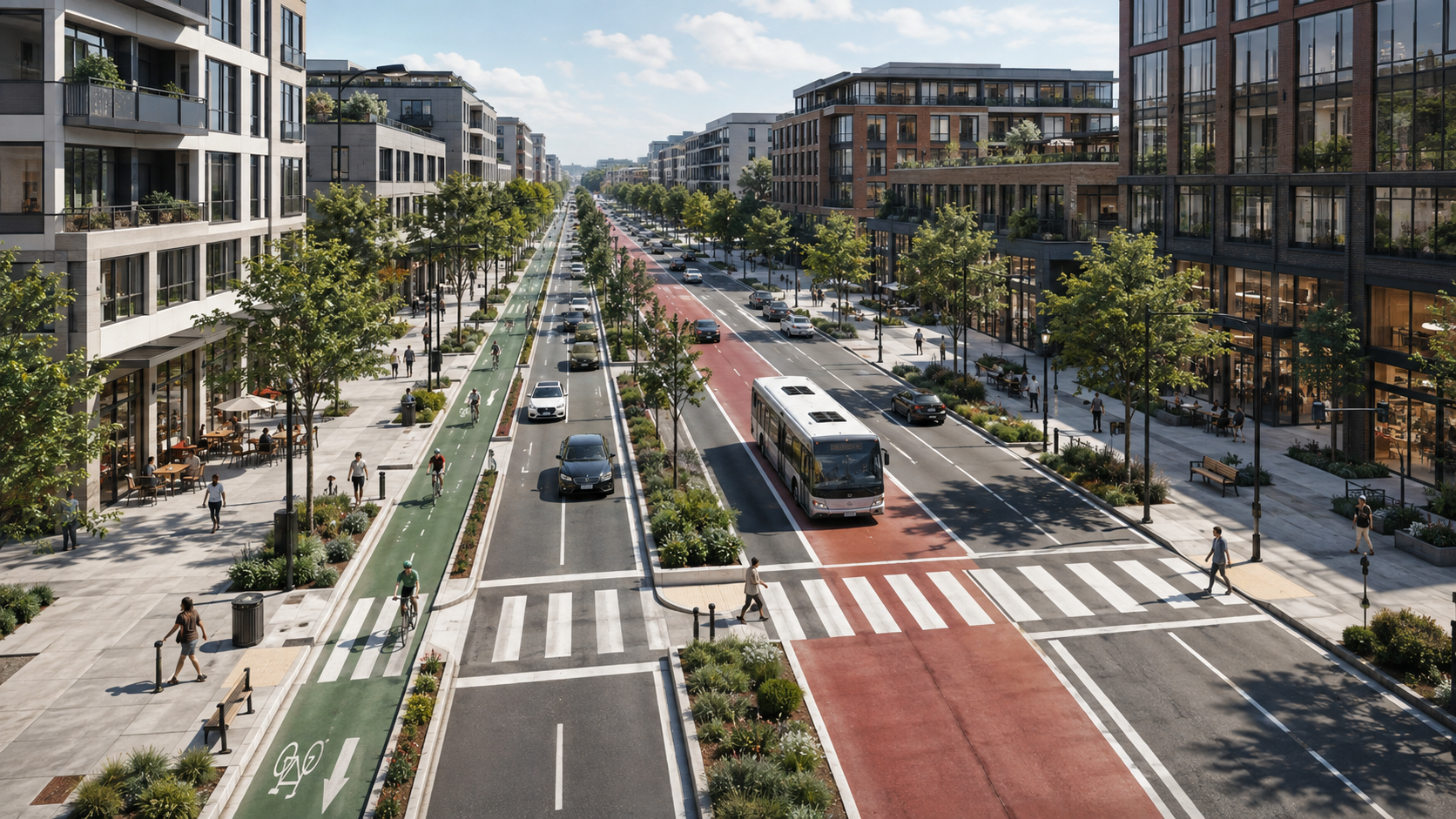
Public space design plays a central role in shaping how people move, interact and experience cities. Streets, sidewalks, plazas, cycling infrastructure, green areas and transportation corridors are not simply spaces between buildings. They are essential parts of the urban environment that influence mobility, accessibility, safety and quality of life.
For urban planners, transportation engineers, landscape architects and municipal teams, successful public space design requires more than an attractive concept. It requires a clear understanding of how limited street space should be allocated between pedestrians, cyclists, public transport, vehicles, landscaping and other urban functions.
Street cross-sections can help professionals translate these ideas into clear, measurable and understandable design alternatives.
What Is Public Space Design?
Public space design is the process of planning and organizing shared urban environments that are accessible to the public. These environments may include streets, sidewalks, pedestrian areas, urban plazas, transportation corridors, parks and other parts of the public realm.
Good design considers both physical space and the way people use it.
A well-planned street, for example, may need to accommodate:
- Vehicle travel lanes
- Bicycle infrastructure
- Sidewalks
- Parking
- Bus lanes or transit facilities
- Trees and landscaping
- Medians
- Street furniture
- Loading or service areas
The challenge is that all of these elements often compete for the same limited right-of-way.
This makes street and corridor planning an important part of public space design.
Why Public Space Design Matters
Public spaces influence the everyday experience of a city.
A street that provides generous sidewalks, appropriate cycling facilities and clearly organized traffic lanes can create a very different environment from one designed almost entirely around vehicle movement.
Effective public space design can support several planning objectives simultaneously.
Better Mobility
Urban spaces must support different forms of transportation.
Modern street planning may need to accommodate walking, cycling, public transport, private vehicles and service access within the same corridor.
Understanding how much space each mode receives is therefore a fundamental design decision.
Improved Accessibility
Sidewalk dimensions, crossings, street furniture and the distribution of public space can influence how easily people move through an area.
Design teams should consider accessibility early in the planning process rather than treating it as an additional layer after the street layout has already been established.
Stronger Public Realm
Streets are also social spaces.
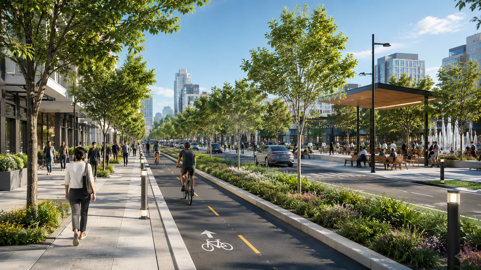
Trees, landscaping, wider sidewalks and well-organized pedestrian areas can help transform transportation infrastructure into a more comfortable and attractive urban environment.
This is why public space design often requires collaboration between transportation engineers, urban planners, landscape architects and architects.
Street Cross-Sections in Public Space Design
One of the most useful ways to understand a street is through a cross-section.
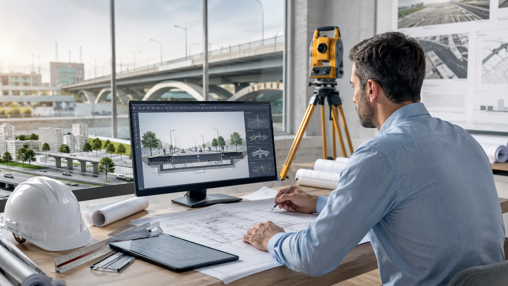
A street cross-section shows how available width is divided between different elements such as sidewalks, traffic lanes, bicycle facilities, parking, medians and landscaping.
Instead of looking only at the street from above, a cross-section provides a clear view of how space is distributed from one side of the corridor to the other.
For public space design teams, this can make complicated planning decisions easier to communicate.
Turning Planning Ideas Into Clear Visuals
Statements such as “widen the sidewalk” or “add a protected bike lane” may sound simple, but every change affects the remaining available street width.
A cross-section makes those tradeoffs visible.
If a bicycle lane becomes wider, another element may need to become narrower. If trees are added, additional space may be required within the sidewalk or buffer zone.
Visualizing these decisions helps teams evaluate whether a concept works spatially.
Comparing Public Space Design Alternatives
Urban planning rarely involves only one possible solution.
A corridor might have several alternatives, such as:
- Wider sidewalks with reduced parking
- Dedicated cycling infrastructure
- Additional landscaping
- Transit priority lanes
- Different vehicle lane configurations
- Alternative median widths
Comparing these options is an important part of the design process.
A parameter-based street cross-section workflow allows teams to adjust dimensions and regenerate alternatives without rebuilding every drawing from the beginning.
KCROSS, for example, is specialized street cross-section software that uses parameter inputs to help professionals create, update and compare street and corridor sections. This type of workflow can be particularly useful when multiple public space design options need to be reviewed side by side.
Public Space Design and Stakeholder Communication
One of the biggest challenges in urban planning is explaining technical decisions to people who do not work with engineering drawings every day.
Municipal representatives, decision-makers, community members and project stakeholders may find traditional CAD drawings difficult to interpret.
Street cross-sections provide a more direct way to communicate how a proposed street could look and how its available space would be distributed.
Making Tradeoffs Easier to Understand
Consider a project where a municipality wants to introduce a new bicycle facility.
Stakeholders may ask:
- Will parking be removed?
- Will sidewalks become narrower?
- Will traffic lanes change?
- Is there enough space for trees?
- How much space will remain for vehicles?
A clear cross-section can help answer these questions visually.
Rather than discussing dimensions only through numbers or technical plans, teams can show the relationship between each element of the street.
Public Space Design for Urban Planners
Urban planners frequently work at the intersection of transportation, land use and public life.
They may need to evaluate how a street supports broader objectives such as active mobility, public transportation or pedestrian-oriented development.
For planners, the ability to quickly explore different street-space configurations can make the design process more flexible.
A professional cross section generator can also reduce dependence on complex CAD workflows during early planning and alternative evaluation.
KCROSS is designed around parameter-based section creation and, according to its available product information, does not require CAD experience for creating street cross-sections.
This can help planning teams communicate ideas without waiting for every early-stage alternative to be redrawn manually.
Public Space Design for Transportation Engineers
Transportation engineers approach public space design from a slightly different perspective.
They must consider geometry, transportation functions and the practical organization of the corridor.
Street cross-section software can support this process by providing a structured way to define and adjust dimensions.
For professional workflows, export options are also important.
KCROSS supports PNG, PDF and DWF exports, allowing street section outputs to be used in presentations, reports and CAD-related environments.
This creates a connection between early design communication and more technical project deliverables.
Public Space Design for Municipalities
Municipal agencies often need to evaluate several interests at the same time.
A single street project may involve transportation departments, planning teams, landscape architects, accessibility professionals, public representatives and external consultants.
Clear visual alternatives can help these groups review the same proposal from a common starting point.
For municipalities, street cross-sections can support:
- Internal design reviews
- Alternative comparison
- Stakeholder presentations
- Public consultation
- Corridor planning
- Mobility projects
- Streetscape discussions
The goal is not simply to create an attractive image. The goal is to make spatial decisions easier to understand and evaluate.
Using Parametric Tools in Public Space Design
Traditional workflows may require professionals to create engineering drawings in CAD software and then use additional graphic tools to prepare presentation-quality visuals.
This can become time-consuming when designs change repeatedly.
A parametric workflow works differently.
Instead of manually redrawing every component, users modify defined parameters such as dimensions or street elements and regenerate the section.
This is especially valuable during public space design because alternatives frequently evolve throughout the planning process.
KCROSS is positioned as an alternative to the traditional AutoCAD plus Photoshop workflow for street cross-section creation, combining parameter-based section development and presentation-ready outputs within one specialized platform.
From Concept to a More Effective Planning Workflow
Successful public space design depends on balancing technical requirements with the needs of people who use the street every day.
Technology cannot make every planning decision automatically. However, the right tools can help professionals explore those decisions more efficiently.
A practical workflow may include:
1. Define the Available Street Width
Determine the corridor dimensions and identify the physical constraints of the project.
2. Identify Required Street Elements
List the functions that need to fit within the corridor, such as sidewalks, cycling infrastructure, vehicle lanes, parking, public transport and landscaping.
3. Create an Initial Cross-Section
Translate the design concept into a clear street section.
4. Test Different Alternatives
Adjust widths and configurations to understand how different priorities affect the overall street.
5. Compare Options Side by Side
Review alternatives based on project objectives and spatial tradeoffs.
6. Prepare Clear Outputs
Export sections for project reports, presentations, stakeholder discussions or relevant technical workflows.
How Technology Supports Better Public Space Design
Digital planning tools are becoming increasingly useful because urban projects require both technical accuracy and clear communication.
The most effective tools should not replace professional judgment. Instead, they should reduce repetitive production work so planners and engineers can focus more attention on the design decisions themselves.
For street and corridor projects, this means making it easier to create sections, revise dimensions, compare alternatives and communicate the result.
KCROSS focuses specifically on this part of the planning workflow by providing a parameter-driven environment for professional street cross-section creation.
Frequently Asked Questions About Public Space Design
What is public space design?
Public space design is the planning and organization of shared urban environments such as streets, sidewalks, plazas and other parts of the public realm. It considers mobility, accessibility, street functions and the overall experience of people using the space.
Why are street cross-sections useful in public space design?
Street cross-sections clearly show how available corridor width is distributed between sidewalks, traffic lanes, cycling facilities, parking, landscaping and other elements. They make spatial tradeoffs easier to evaluate and communicate.
Who is involved in designing public spaces?
Public space projects may involve urban planners, transportation engineers, landscape architects, architects, municipal agencies, consultants and other stakeholders.
Can public space design alternatives be compared digitally?
Yes. Parameter-based street design tools can make it easier to adjust dimensions and compare different corridor configurations without manually recreating every alternative.
What is the role of KCROSS in public space planning?
KCROSS is specialized street cross-section software designed for creating, updating, comparing and exporting street sections. It is relevant to public space projects where street-space allocation and corridor design need to be clearly visualized.
What formats can KCROSS export?
KCROSS supports PNG, PDF and DWF exports, which can help teams use street sections in presentations, reports and CAD-related workflows.
Building Better Urban Spaces Through Clearer Design Decisions
Public space design is ultimately about making informed decisions about how shared urban space should function.
Every sidewalk, traffic lane, bicycle facility, tree zone and transit element occupies part of a limited corridor. Understanding these relationships is essential for creating streets that serve multiple users and urban objectives.
Clear street cross-sections can make those decisions easier to develop, compare and communicate.
For transportation engineers, urban planners, landscape architects and municipal teams, a specialized platform such as KCROSS can support a faster and more structured street design workflow, helping transform planning concepts into professional, export-ready street cross-sections.